
The causeway and the Pyrenees pass
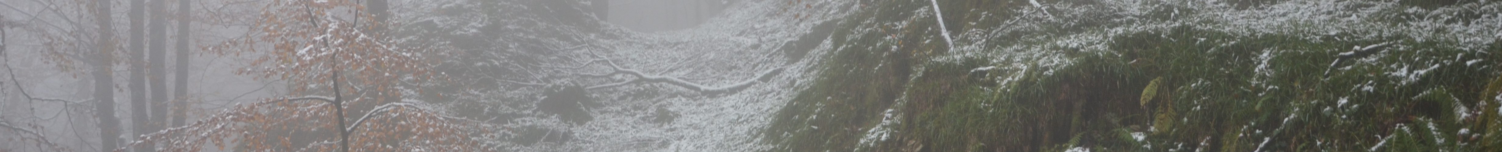
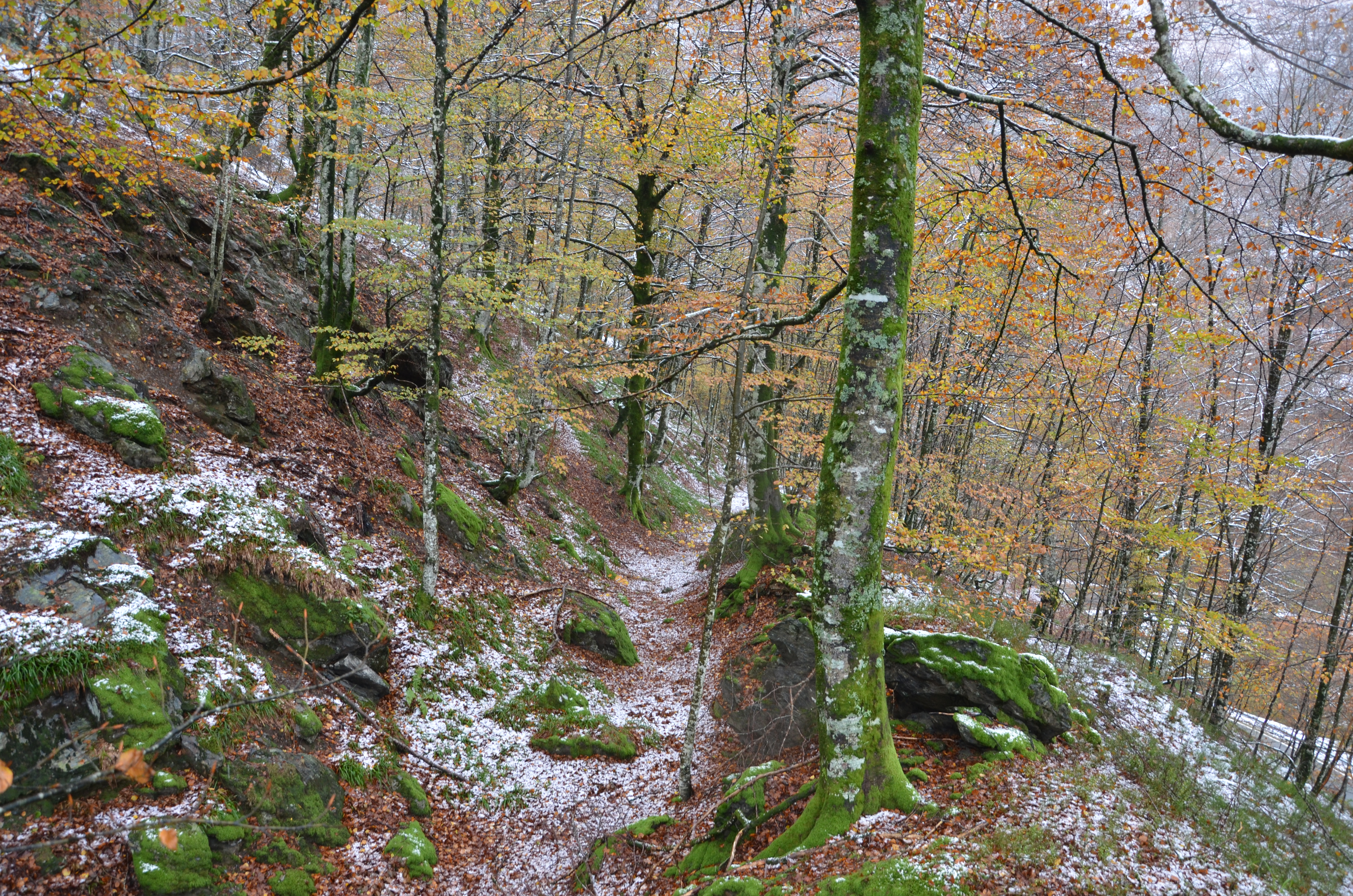
This trail runs along a section of the Roman road from (Caesaraugusta) Zaragoza, following the course of the Irati River from Sangüesa to Ekai, passing through the Urrobi basin, up through Artzibar to Orreaga-Roncesvalles and down through Luzaide-Valcarlos towards (Burdigala) Bordeaux.
It was built around the 1st century BC and measures between six and eight meters wide, with grades no steeper than 6%. The road was used for armies, mail, carts with heavy goods… until the fall of the Roman Empire. It was later abandoned because of its poor condition, yet was still used as a horse trail until new roads were laid in the late nineteenth and early twentieth centuries.
The layout was confirmed with the discovery of six milestones. These were stone landmarks that were placed at the edge of each mile (milla passum), equivalent to 1,481 meters, and included information about the emperor who built the road or ordered its repairs, as well as the distance to the next mansio or civitas.
FOR FURTHER INFORMATION:
The road through Artzibar/Arce Valley
Information about the path that runs along the Pyrenean Roman road, through Artzibar/Arce Valley.
Article about the road
Publication about the road’s route and the discovery of the milestones between Campo Real/Fillera and Saint-Jean-le-Vieux/Donazaharre, published in 2017 (available on PDF).
Txoperena Megaliths
A variety of information about ancient paths and the Pyrenees’ Roman road at www.megalitos.txoperena.es
HISTORICAL BACKGROUND
One way or another, traditional sources refer to a road that crossed the Western Pyrenees, called Iter XXXIV and its mansios (stopping places). Ptolemy, the Antonine Itinerary and the Anonymous of Ravenna refer to a site in the surrounding area of that mountain pass called Iturissa or Eturissa. However, there is currently no information or written document revealing the date on which this road was opened or when it was established.

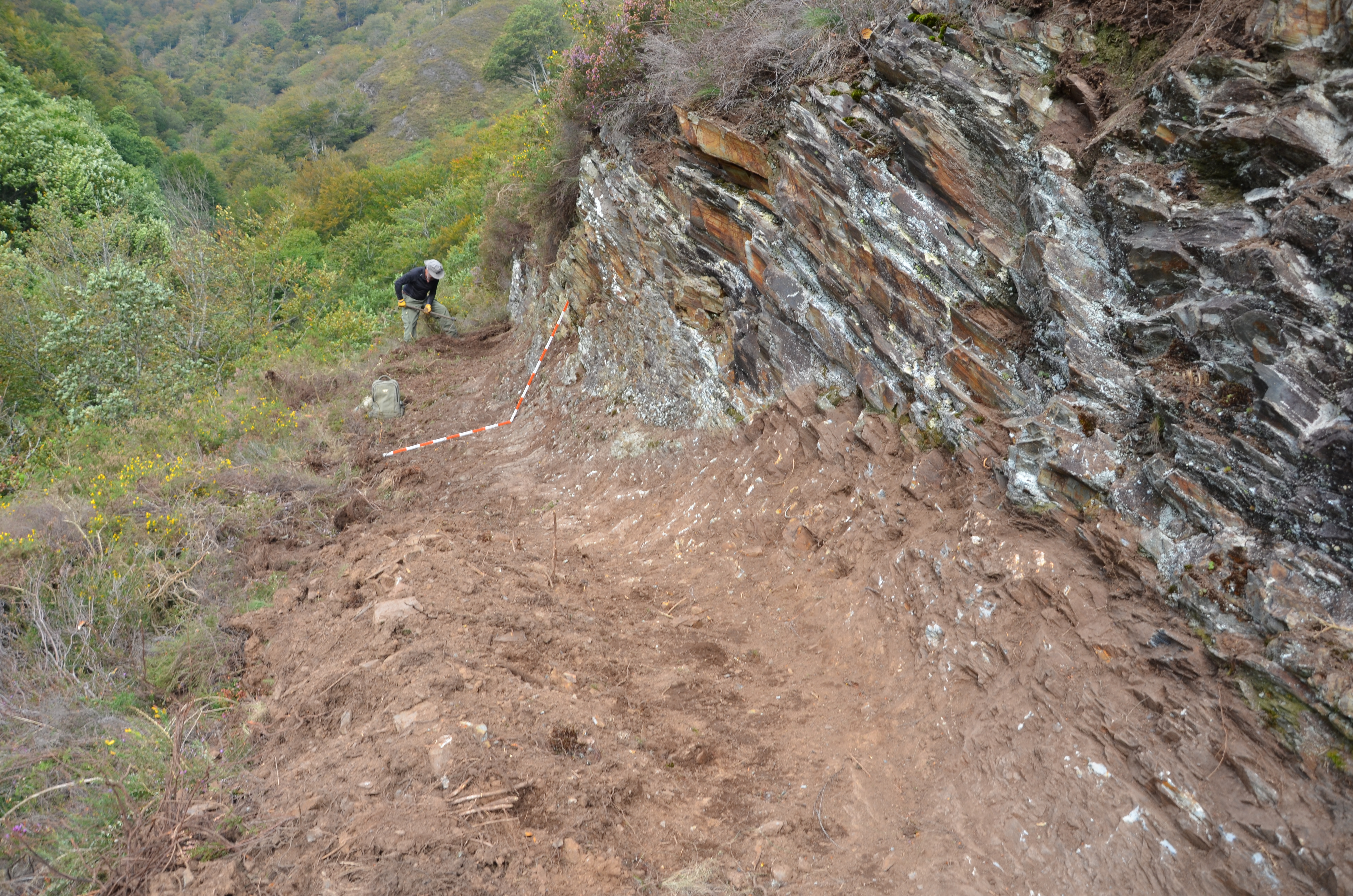
A survey of this road, northwards from the Basin of Pamplona, has allowed us to identify some short sections of the ancient road that leads to Zubiri. Cuts have been made of the road surface at these points and, thus far, the results have been negative. The possibility of another, alternative route through the Esteribar Valley has also been ruled out.
RESEARCH AND SURVEYS
Since 2008, a team from the Aranzadi Society of Sciences has carried out research work and land surveys related to these ancient roads in the north of Navarra, but in particular in an effort to find the layout of the roads from the Roman period. In this specific case, their aim was to locate any links from this on the southern slope of the Ibañeta pass towards Bordeaux, in addition to the road’s facilities and structures (e.g. milestones). Similarly, in the area around these roads, a set of hitherto unknown settlements from the Iron Age have also been discovered.
The research was based on a detailed study of the land and consulting a variety of maps and old photographs which may have indicated the presence of remains, making it possible to select the most suitable areas for the possible route of the road. All of this potential evidence was verified using land surveying or archaeological surveys on the site. At the sites where the road was identified, pickaxing work, road laying levels on the ground and the remains of the various layers that formed the roadbed were documented.
General flight through the identified route of the road.
Author: Eneko Martínez Iturri